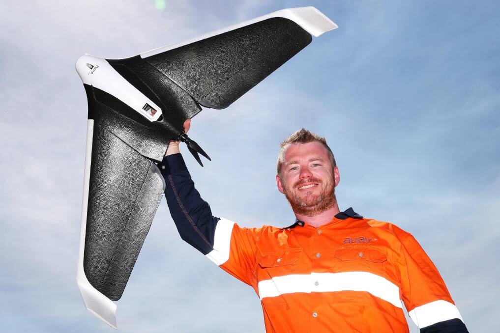
DRONES conjure up images of a device flying above to catch up breathtaking imagery, but one Wagga expert said they can do so much more.
Australian UAV Pty Ltd has announced its expansion of drone mapping and inspection services into the Riverina .
Lachlan Feeney, regional manager, said drones are the perfect way to cover more ground in areas where there is often less staff available and still capture high-resolution data.
Mr Feeney said he loves the Riverina area and, in particular, the Murrumbidgee River.
“I’m excited to see what we can achieve working with the local government and industry to take the best advantage of this new technology to improve the environment and grow our local economy," he said.
"One of the jobs we did last year was dam and irrigation design, so highly accurate models for the Murrumbidgee Irrigation Authority to improve the accuracy of the new irrigation channels they were putting in."
Mr Feeney said while it might not sound exciting to someone outside the industry, the drones allow employees to stay out of harm's way.
"A few catchments use drone technology to go onto dam walls where people would normally have to rope up to inspect for any cracks," he said.
"We can survey large amounts of floodplain and levees around Wagga and reduce the amount of time people have to spend doing traditional data surveys."
AUAV drone services announced on Monday the continued expansion of its business with a new location in Wagga.

NSW operations manager, Andrew Chapman, said they are excited to be bringing this technology directly into the heart of regional areas.
“We will be able to better service the area, be more responsive to local events, and avoid the travel costs from our Sydney and Melbourne offices," he said.
Mr Feeney said he is excited to grow the business in Wagga so business and employment opportunities int he field of drone operators can expand.
This article first appeared in the Daily Advertiser


