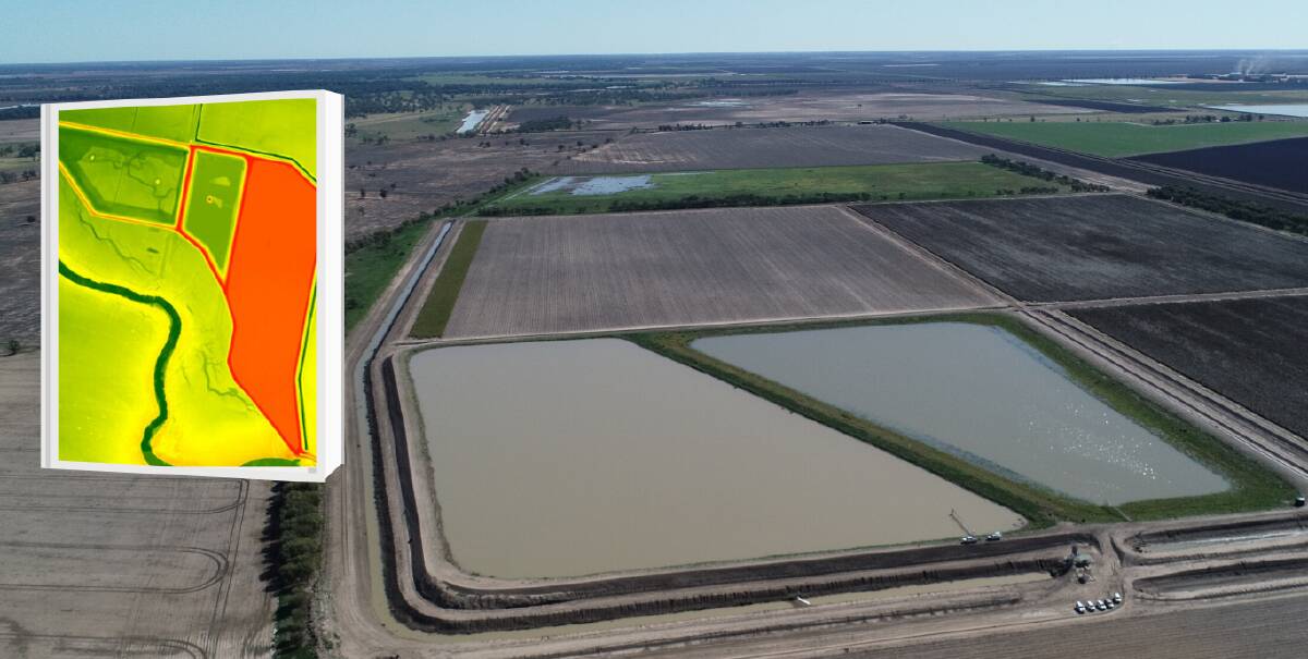
A technology that can count trees and rocks in paddocks is now being used by the NSW Government to accurately measure water in floodplain harvesting storages.
In a world first, the government is using LiDAR, a sensory technology that sends out laser pulses to measure the elevation of land surfaces (dams), to construct images to estimate the volume of floodplain harvesting captured in private water storages in the Northern Basin valleys.
LiDAR measures the strength and elevation of the return where it can determine tree canopy heights, depth of on-farm water storages or grassland clusters, to produce 3D images, which are used in conjunction with satellite images to calculate the volume of water in storages.
Water Minister Melinda Pavey said LiDAR would be vital as the government continues to implement new licensing and measurement rules for floodplain harvesting and water management in NSW.
"LiDAR has been used for many years to construct models that predict how water moves across floodplains. However, this is the first time it has been used to establish the location, volume and the relative elevation of each storage on the floodplain," Ms Pavey said.
"Now, the department is able to determine both the capacity and volume held in private on-farm storages with much greater accuracy."
There is a combined capacity of 1450 gigalitres within 1386 private on-farm storages across the Northern Basin, which are filled infrequently and only during wet periods. In February, Ms Pavey said heavy rain fell over the Northern Basin, and, for the first time in NSW's history, the department placed an embargo on floodplain harvesting to protect a first flush of water through to the Lower Darling.
"Using this technology, we were able to assess the volume of floodplain harvesting was around 20GL during this time. Now, over 380GL has made it to the Menindee Lakes, reconnecting the Lower Darling to the Murray River for the first time since 2016," she said.
An evaluation of the first flush outcomes, including further detail about this assessment, will be released by an independent panel in the coming months.


