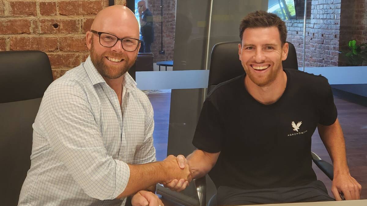
A new partnership is set to enhance transparency and integrity on two Australian carbon farming projects covering almost a million hectares.
Subscribe now for unlimited access to all our agricultural news
across the nation
or signup to continue reading
RegenCo and Agronomeye have joined forces to create the platform AgTwin, which will combine data modelling with third party data such as yield maps, weather and on-farm sensors. AgTwin will also draw on lidar technology captured from the air provided by ASX listed geospatial tech company, Aerometrex.
The monitoring and measurement system will be applied by RegenCo to carbon farming projects, providing absolute transparency and integrity for regulators, farmers and investors in the carbon market.
The partnership combines RegenCo's expertise in natural capital, land management and carbon projects, with Agronomeye's digital twin whole-of-farm technology that provides a high-resolution 3D map of the natural landscape over time.
Agronomeye's CEO, Stu Adam, said the technology provides a detailed 3D map of the landscape over time.
"If we think of a satellite image as an X-Ray of a landscape, the digital twin is more like an MRI. The technology enables us to map entire farming systems from data gathered at scale by an aeroplane," Mr Adam said.
"Aerometrex's lidar sensors capture all elements of the ground environment, including the height of all the trees, density of vegetation and land contours. We use this data to create a 3D map of the landscape with detailed analysis that is unique, actionable and marketable."
RegenCo Greg Noonan said he was excited about the transparency the platform provides the system, and how it helps to outline areas suitable and not suitable for carbon farming, and what that means for integrity.
"What we're doing is real - the 60,000 hectare example demonstrates this - as we work alongside farming systems to capture carbon over time," Mr Noonan said.
"In every project, we clearly identify and classify areas not suitable for a project such as those already with forest, those that aren't suitable for vegetation growth or those on a floodplain. This technology allows us to hone in and regenerate suitable areas, creating absolute certainty around what is happening at the project level."
Mr Noonan said one of the challenges that the industry is facing has been criticism that people get credits for existing trees. He said they exclude ares of existing forest - so if the canopy cover of the trees is greater than 20 per cent and higher than two metres, then they're excluded from the project.
"We use the best available satellite data which is typically operated in 30m x 30m pixels, so it's not particularly high resolution. And we supplement that with other data, such as drone data and field surveys. On a 250,000 hectare property you literally can't visit every site so you rely on extrapolating data that you get across an area," Mr Noonan said.
"This gives us absolute certainty around the starting point of the project because we're measuring in extremely high resolution imagery from much closer than a satellite. So, when we start the project we know exactly what is forest already, we know what areas have forest potential, and we also know which areas have no forest potential. This means the risk of credits being incorrectly applied to existing vegetation is much lower due to the quality of the data we're collecting."
Mr Noonan said he's excited to be involved in the partnership with Agronomeye and Aerometrex to bring the new platform to market.
"We're now going to roll this out on projects across Australia, delivering environmental, agricultural and financial returns. We will put the farmers in the driver's seat, support effective decision making, protect the environment and enhance productivity and profitability," Mr Noonan said.


